SHV · Shreveport Regional Airport
aprox. 1 h · 50 millas
Aerolíneas: Allegiant Air, American Airlines, Delta Air Lines, United Airlines
Fuente: Shreveport Regional Airport: Airlines · Fuente: Shreveport Regional Airport: Rental Cars

Planifica tu viaje en coche, avión, tren o autobús.
East Texas Regional (GGG) está a unos 50 min; Shreveport Regional (SHV), a unos 1 h.
GGG: American Airlines · SHV: Allegiant Air, American Airlines, Delta Air Lines, United Airlines
El Texas Eagle para en Marshall, a unos 19 min.
Dallas está a unos 2 h 35 min; Houston, a unos 3 h 55 min.
Dallas: I-20 E → US-59 N · Houston: I-69 / US-59 N
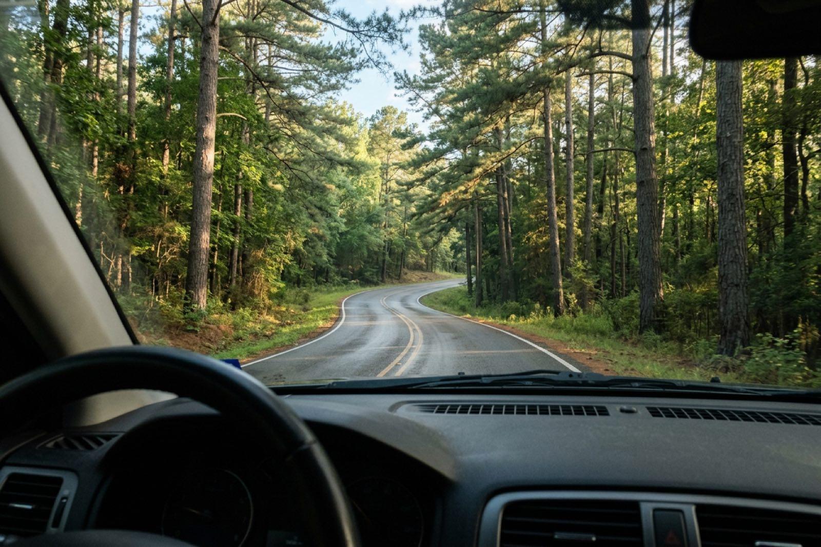
Tiempos calculados con datos de OpenStreetMap el 2026-11-19; el tráfico y las paradas añaden tiempo.
| Origen | Distancia | Tiempo en coche | Ruta |
|---|---|---|---|
| Marshall | 17 millas | aprox. 18 min | US-59 N |
| Longview | 39 millas | aprox. 45 min | US-80 E → US-59 N |
| Shreveport Plan desde Shreveport → | 54 millas | aprox. 55 min | I-20 W → US-80 W → US-59 N |
| Texarkana Plan desde Texarkana → | 57 millas | aprox. 1 h | US-59 S |
| Tyler | 78 millas | aprox. 1 h 15 min | I-20 E → US-59 N |
| Dallas Plan desde Dallas → | 170 millas | aprox. 2 h 35 min | I-20 E → US-59 N |
| Fort Worth | 203 millas | aprox. 3 h 5 min | I-20 E → US-59 N |
| Little Rock | 202 millas | aprox. 3 h 5 min | I-30 W → US-59 S |
| Houston Plan desde Houston → | 238 millas | aprox. 3 h 55 min | I-69 / US-59 N |
| Austin | 301 millas | aprox. 5 h 5 min | US-290 E → US-79 N → TX-43 → US-59 N |
| Oklahoma City | 330 millas | aprox. 5 h 15 min | I-40 E → US-271 S → TX-11 E |
| San Antonio | 379 millas | aprox. 6 h 15 min | I-35 N → US-290 E → US-79 N → TX-43 → US-59 N |
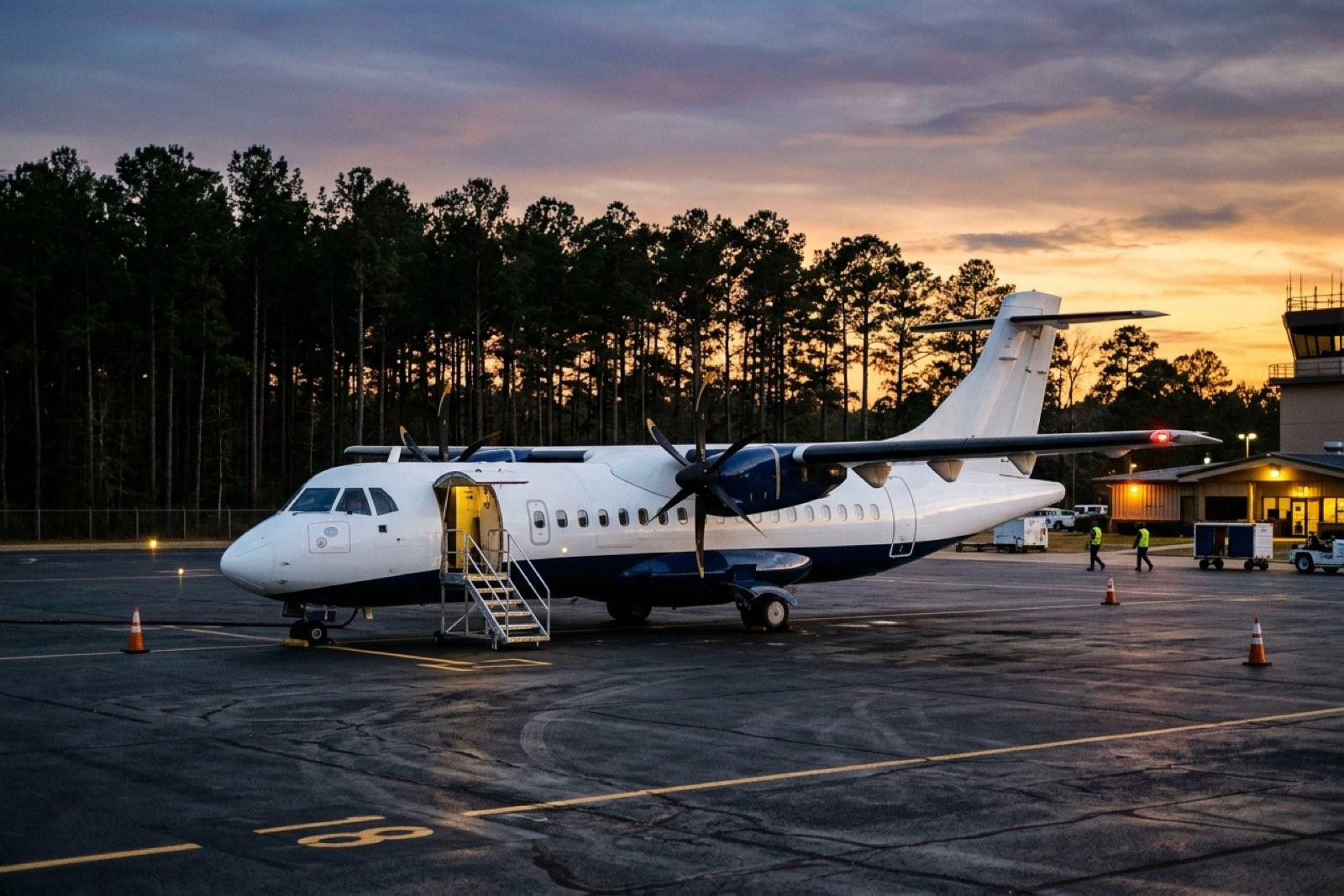
Jefferson no tiene vuelos comerciales; reserva un coche o transporte.
aprox. 1 h · 50 millas
Aerolíneas: Allegiant Air, American Airlines, Delta Air Lines, United Airlines
Fuente: Shreveport Regional Airport: Airlines · Fuente: Shreveport Regional Airport: Rental Cars
aprox. 50 min · 49 millas
Aerolíneas: American Airlines
Fuente: East Texas Regional Airport: Airport Information · Fuente: East Texas Regional Airport: Car Rentals
aprox. 1 h 25 min · 86 millas
Aerolíneas: American Airlines
Fuente: City of Tyler: Tyler Pounds Regional Airport airline information · Fuente: City of Tyler: Tyler Pounds Regional Airport parking & ground transportation
aprox. 1 h 5 min · 65 millas
Aerolíneas: American Airlines
Fuente: Texarkana Regional Airport: Airline Information · Fuente: Texarkana Regional Airport: Ground Transportation
aprox. 3 h 15 min · 191 millas
Aerolíneas: American Airlines
Fuente: DFW Airport newsroom: DFW and American Airlines Terminal F announcement
aprox. 2 h 50 min · 178 millas
Aerolíneas: Southwest Airlines, Delta Air Lines
aprox. 3 h 45 min · 222 millas
Aerolíneas: United Airlines, American Airlines, Delta Air Lines
aprox. 4 h 10 min · 248 millas
Aerolíneas: Southwest Airlines, American Airlines, Delta Air Lines, Allegiant Air, Frontier Airlines, Sun Country Airlines
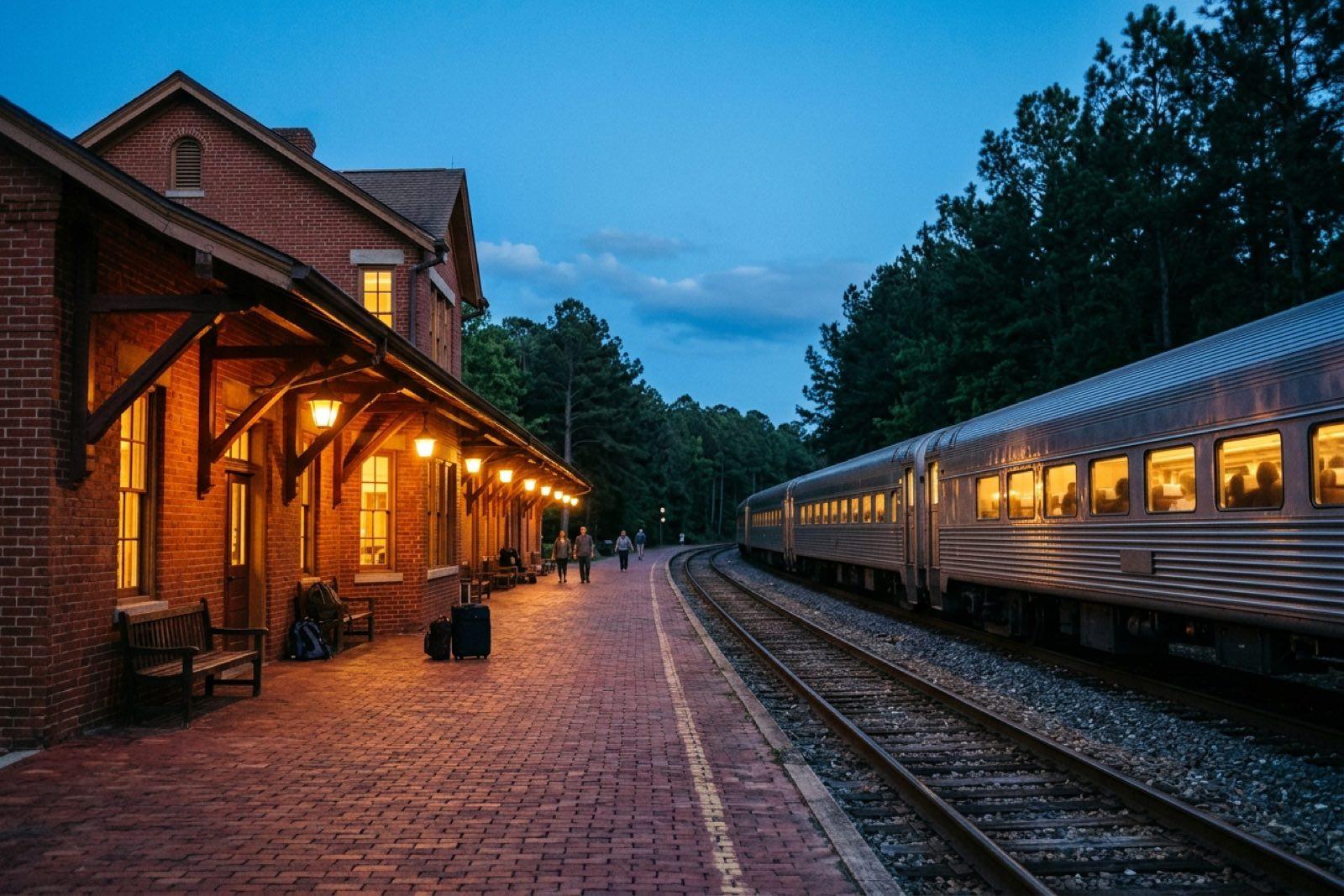
aprox. 19 min · 17 millas
800 N. Washington Ave., Marshall, TX 75670
Fuente: Amtrak Great American Stations: Marshall, TX (MHL) · Fuente: Amtrak Texas Eagle timetable (generated 2026-11-18) · Fuente: East Texas Council of Governments: GoBus transportation services
aprox. 45 min · 40 millas
905 Pacific Ave., Longview, TX 75602
Fuente: Amtrak Great American Stations: Longview, TX (LVW) · Fuente: Amtrak Texas Eagle timetable (generated 2026-11-18) · Fuente: East Texas Council of Governments: GoBus transportation services
Pony Express Travel Center, 304 I-20 East, Marshall, TX 75672
Fuente: Greyhound: Marshall (Pony Express Travel Ctr) bus stop · Fuente: East Texas Council of Governments: GoBus transportation services
908 E. Pacific Ave., Suite 100, Longview, TX 75602
Fuente: Greyhound: Longview Bus Station · Fuente: East Texas Council of Governments: GoBus transportation services
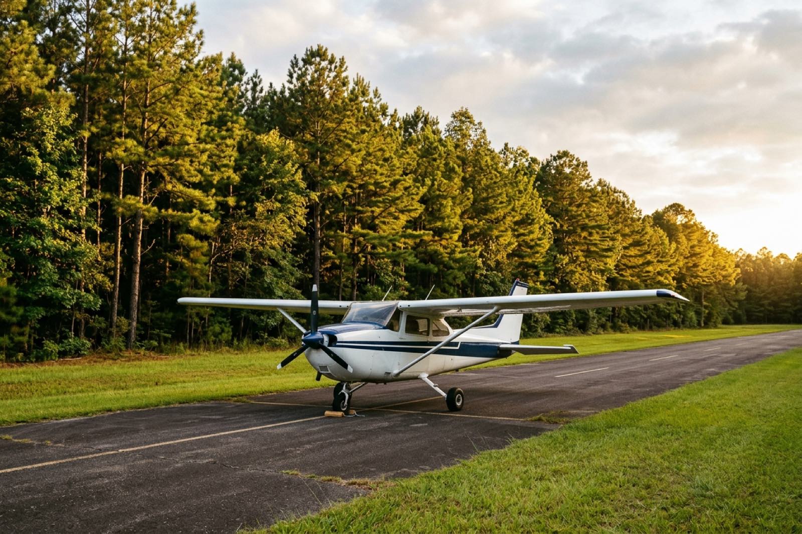
Consulta el Chart Supplement vigente antes de volar.
aprox. 6 min · 3 millas
aprox. 7 min · 6 millas

Alójate en el centro y recórrelo a pie. Ver alojamientos
East Texas Regional (GGG) está a unos 50 min en coche.
El Texas Eagle para en Marshall, a unos 19 min; organiza el traslado.
A unas 170 millas y 2 h 35 min en coche.
A unas 238 millas y 3 h 55 min en coche.
A unas 54 millas y 55 min en coche.
Reserva un coche o transporte para llegar a Jefferson.
No pudimos confirmar Uber o Lyft en Jefferson; organiza tu transporte con antelación.
Cypress River y Manning Field sirven a la aviación general; consulta la información vigente.
Última verificación: 2026-11-18